🚚 Free Worldwide Shipping on All Orders!Shop Now
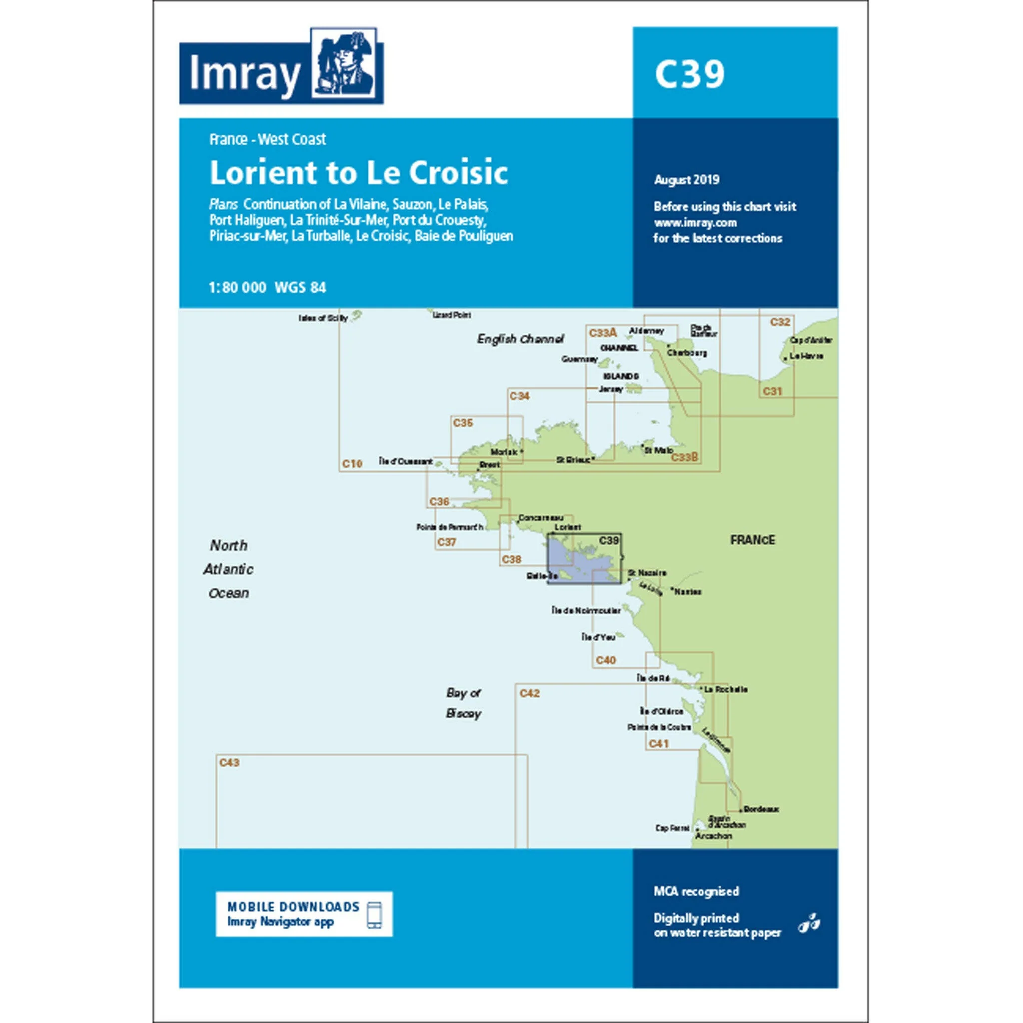
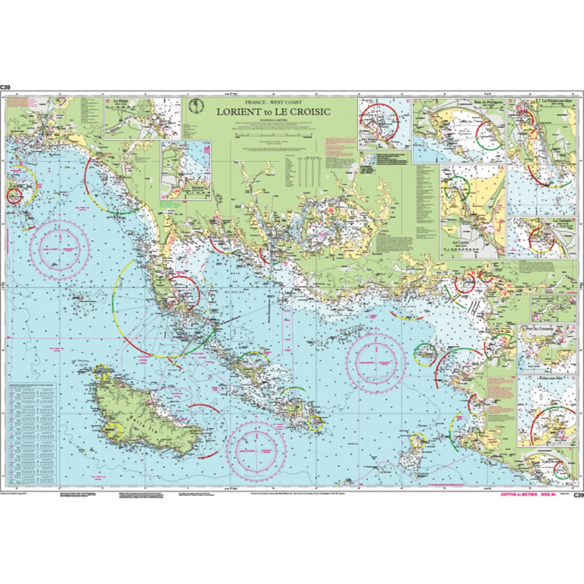
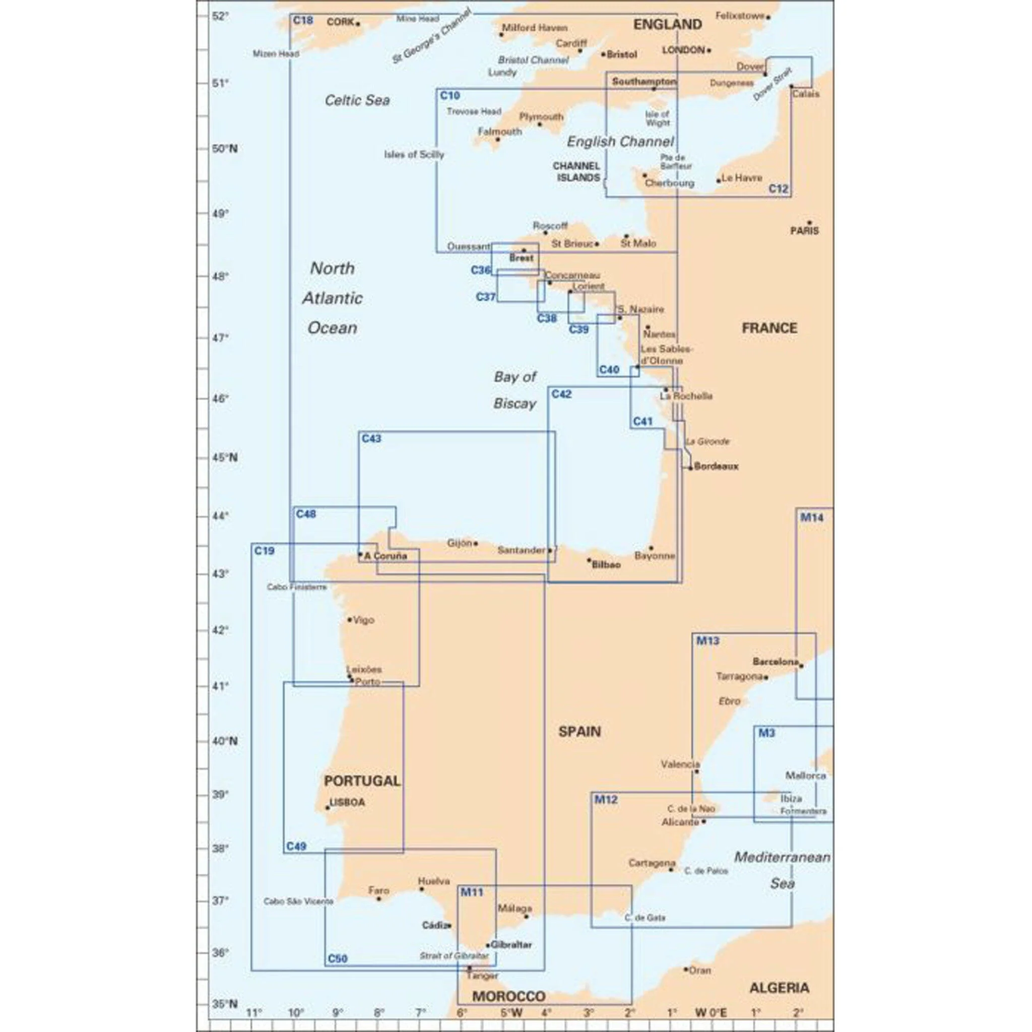
Imray Chart C39 Lorient to Le Croisic Scale 1:80 000 WGS84
Plans included:
Sauzon (1:10 000)
Le Palais (1:10 000)
Port Haliguen (1:20 000)
La Trinité-Sur-Mer (1:25 000)
Port Du Crouesty (1:20 000)
Piriac-sur-Mer (1:20 000)
La Turballe (1:15 000)
Le Croisic (1:15 000)
Baie de Pouliguen (1:50 000)
Continuation of La Vilaine (1:80 000)
On this edition the latest depths have been included where available. The chart has fully updated firing practice areas and the harbour developments at La Turballe are included. The chart specification has been improved to show coloured light flashes. There has been general updating throughout.
Sauzon (1:10 000)
Le Palais (1:10 000)
Port Haliguen (1:20 000)
La Trinité-Sur-Mer (1:25 000)
Port Du Crouesty (1:20 000)
Piriac-sur-Mer (1:20 000)
La Turballe (1:15 000)
Le Croisic (1:15 000)
Baie de Pouliguen (1:50 000)
Continuation of La Vilaine (1:80 000)
On this edition the latest depths have been included where available. The chart has fully updated firing practice areas and the harbour developments at La Turballe are included. The chart specification has been improved to show coloured light flashes. There has been general updating throughout.
$26.48
Imray Chart C39 Lorient to Le Croisic Scale 1:80 000 WGS84—
$26.48
Product Information
Product Information
Shipping & Returns
Shipping & Returns
Description
Plans included:
Sauzon (1:10 000)
Le Palais (1:10 000)
Port Haliguen (1:20 000)
La Trinité-Sur-Mer (1:25 000)
Port Du Crouesty (1:20 000)
Piriac-sur-Mer (1:20 000)
La Turballe (1:15 000)
Le Croisic (1:15 000)
Baie de Pouliguen (1:50 000)
Continuation of La Vilaine (1:80 000)
On this edition the latest depths have been included where available. The chart has fully updated firing practice areas and the harbour developments at La Turballe are included. The chart specification has been improved to show coloured light flashes. There has been general updating throughout.
Sauzon (1:10 000)
Le Palais (1:10 000)
Port Haliguen (1:20 000)
La Trinité-Sur-Mer (1:25 000)
Port Du Crouesty (1:20 000)
Piriac-sur-Mer (1:20 000)
La Turballe (1:15 000)
Le Croisic (1:15 000)
Baie de Pouliguen (1:50 000)
Continuation of La Vilaine (1:80 000)
On this edition the latest depths have been included where available. The chart has fully updated firing practice areas and the harbour developments at La Turballe are included. The chart specification has been improved to show coloured light flashes. There has been general updating throughout.